This trip had two train rides the C&TSR and the D&SNGR and for both I chose options that were alternatives to the full length of the track. I find that any train trip is approximately 10 minutes of excitement and then you're just riding a train.
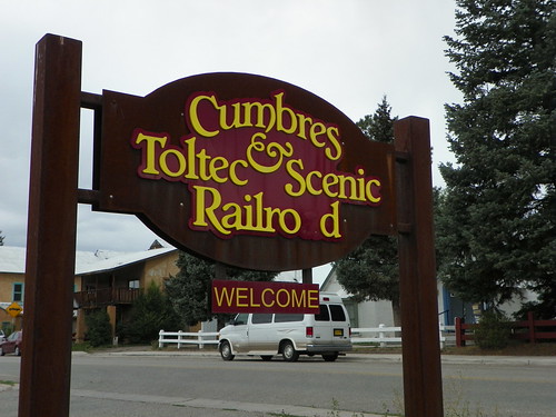
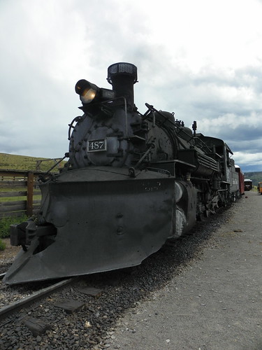
The Cumbres & Toltec Scenic Railroad is America's longest, highest narrow gauge railroad. It is also designated both a National and State Registered Historic Site and National Civil Engineering Landmark.
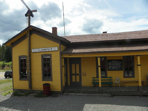
I rode the rail from Chama, NM to Osier, CO and then back.
Our brakeman was actually the mayor of Chama.
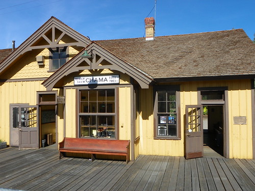
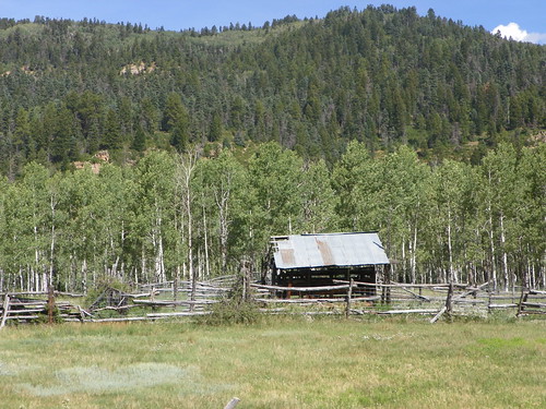
Chama was settled in 1865 and the railroad arrived in 1880, connecting the town to Antonito, Colorado.
The first 14 miles of track are on a 4% grade (that means for every 100 ft. of track the train gains 4 ft of elevation), the train will burn a total of 5-6 tons of goal, but half that is spent in those initial 14 miles.
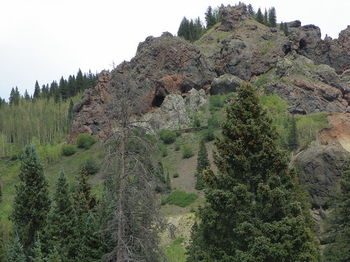
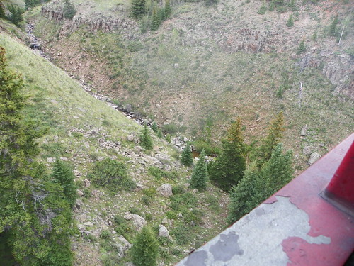
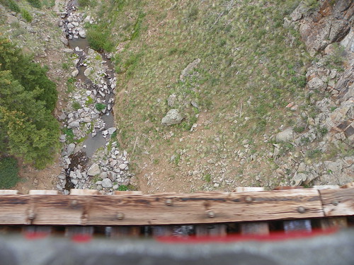
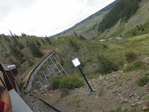
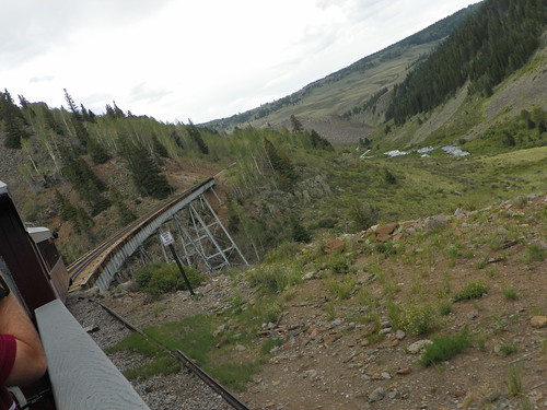
The Narrows:
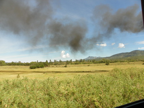
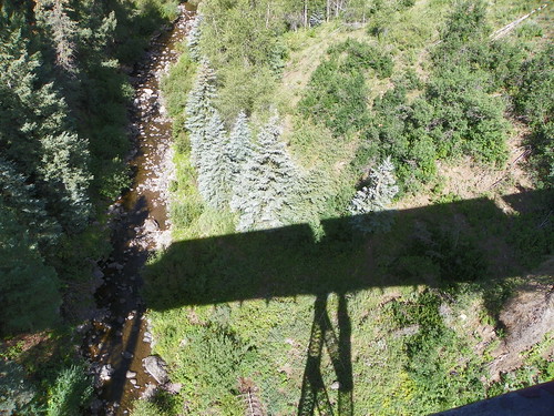
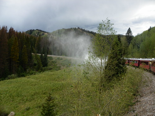
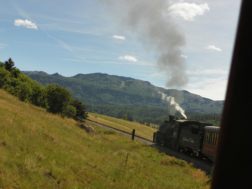
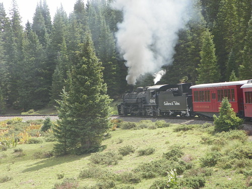
I liked how the smoke and steam creates a shadow that moves over the ground with the train.
Lobato Trestle - Second highest bridge on the line; it's 100 feet above Wolf Creek:
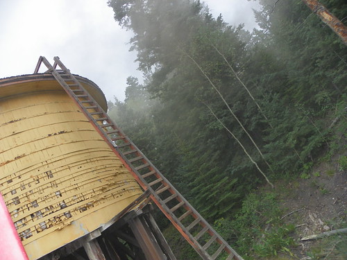
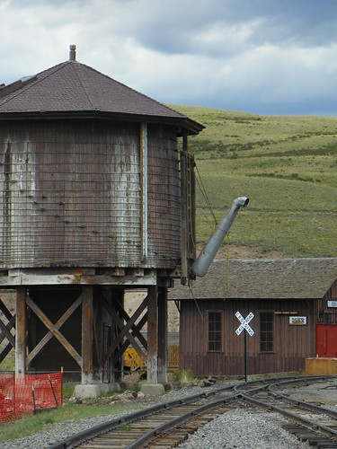
Cresco Tank:
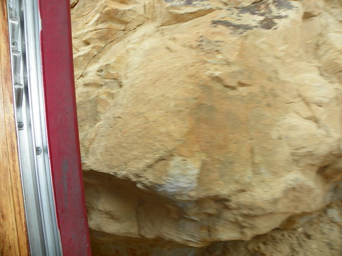
This is how close you come to the rocks here and there on the tracks. Our brakeman told us that you can lose a limb trying to touch them. "Your finger, arm, or head will stay there; the rest of you will continue back to Chama."
Windy Point - One of the most famous places in American railroading. The rails are laid on a rock shelf, carved out of the face of the cliff. This is the apex of the 4% grade out of the Rio Chama Valley.

The engine dumps water out of the side to clear any sediment and debris. If you are riding anywhere behind the engine you'll get a pretty good facial.
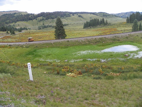
You can just see the tracks in the center of the photo.
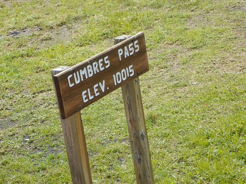
Cumbres:
Highest point on the railroad. At 10,015 feet above sea level, winter storms will leave 20 foot snow drifts. We stopped here to take on more water.
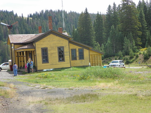
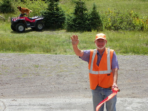
This is the signal guy at the Cumbres pass. He stops traffic to let the train pass through, but the real story is his dog who rides around on the 4-wheeler and barks at all the trains as they go by.
Tanglefoot Curve - Railroaders had to lay tracks in wide loops to gain 39 feet of elevation. Eastbound train crews would jump off the slow moving train on the upper track, walk down to the lower track, inspect for "hot boxes" (burned out bearings), and the reboard the caboose on the lower track. Legend has it that a trainman got his foot tangled in a briar and slid down the bank almost under his train.


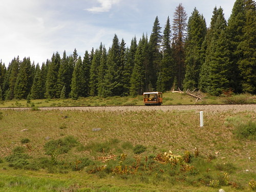
This is the little car that follows the train to make sure we don't start any fires.
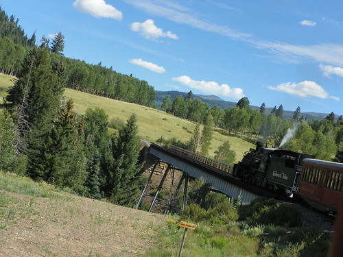
Cascade Trestle - Highest bridge on the track; it's 137 feet above Cascade Creek:
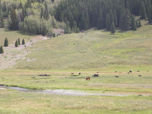
Cows! It's all open range up here.
Before the railroad, Osier was a station on the road from Conejos to Chama. It was once a small community, but now it's pretty much just the station. We had lunch at Osier and it was actually much better than I expected. I had the turkey dinner and while it wasn't Mom-caliber it was pretty good.

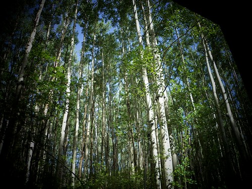
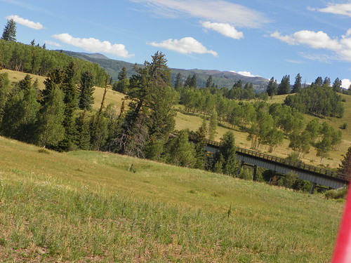
After lunch we turned around and came back to Chama. I was really impressed with the narration provided by our docents - they always gave us a few minutes warning to get our cameras ready for the next "thing". They also provided us a fantastic map that I took notes on, and used to gauge where we were. There was also a lot of beautiful scenery. (Thanks, Mom for always pointing it out so I knew what to look for!)